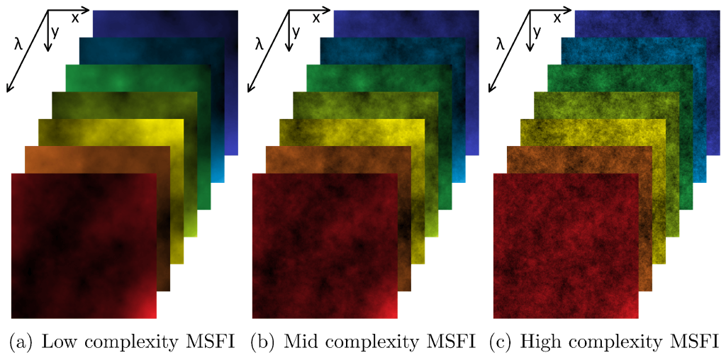
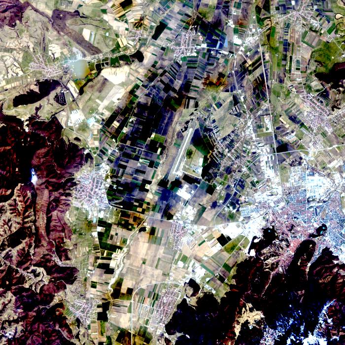
AI4AGRI HyDACI6 PRISMA-based data over Brasov area for agricultural crop identification
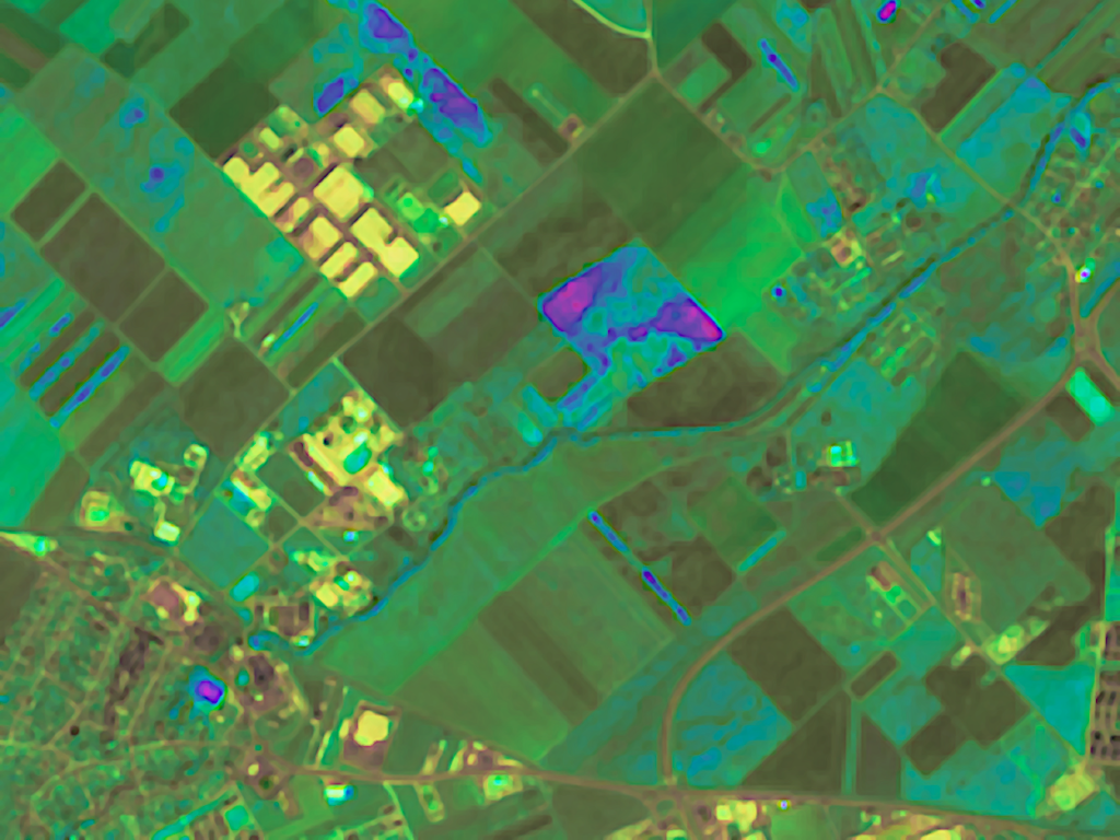
The HyDACI6 dataset was produced within the framework of the AI4AGRI European project GA 101079136. HyDACI stands for Hyperspectral Dataset for Agricultural Crop Identification. The AI4AGRI HyDACIA6 data set contains six hyperspectral images derived from the PRISMA mission data from year 2024 over a specific area to the north of Brașov city, Romania. The original […]
AI4AGRI HyDACI6 PRISMA-based data over Brasov area for agricultural crop identification Read More »