
As part of the AI4AGRI project, a new dataset is now available that combines Sentinel-1 SAR and Sentinel-2 multispectral imagery to support research in crop identification using machine learning and remote sensing. Covering the years 2020 to 2024 over an agricultural area north of Brașov, Romania, this dataset is structured to address two key tasks:
- Crop Identification with Temporal Generalization: Training on data from 2020–2023 and testing on data from 2024.
- Early Crop Identification: Identifying crops during the vegetation season, with a fixed cut-off date of May 20 for data splitting.
The dataset includes:
- Sentinel-1 and Sentinel-2 GeoTIFF Images: Yearly organized radar (2-band) and multispectral (12-band) imagery with 800 x 450 pixel resolution at 10 m spatial resolution.
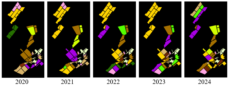
- Ground Truth Masks and Field Boundaries: RGB and labeled crop masks in PNG and MAT formats, shapefiles of fields in both WGS84 and UTM coordinate systems, and region of interest (RoI) polygons.
- 32×32 Pixel Patches: Matched radar and multispectral data patches for both tasks, saved in GeoTIFF and MAT formats, with corresponding training/testing CSV files.
- RGB Visualization Patches: Patches generated from RGB masks for pixel-level ground truth inspection.
This dataset enables the development and evaluation of crop identification models that integrate radar and optical satellite data, supporting both seasonal forecasting and generalization across years.